
Haweswater Reservoir - Lake District Walk
Tuesday 13th October 2020
The forecast was for some rain with low cloud, so rather than head up onto the fells and end up walking in the cloud we decided to stay low and local doing a walk we have never done despite our numerous stays at the Haweswater Hotel. Although we have done several sections of this walk we have never walked all the way around Haweswater Reservoir in one go, today seemed like the ideal time to put that right.
Start: Haweswater Hotel (NY 4834 1390)
Route: Haweswater Hotel - Burnbanks - Haweswater Reservoir - The Rigg - Mardale Head - Haweswater Hotel
Distance: 10.75 miles Ascent: 464 metres Time Taken: 5 hrs 50 mins
Terrain: Roads and clear paths
Weather: Overcast with some rain
Pub Visited: Haweswater Hotel Ale Drunk: Worthington Bitter
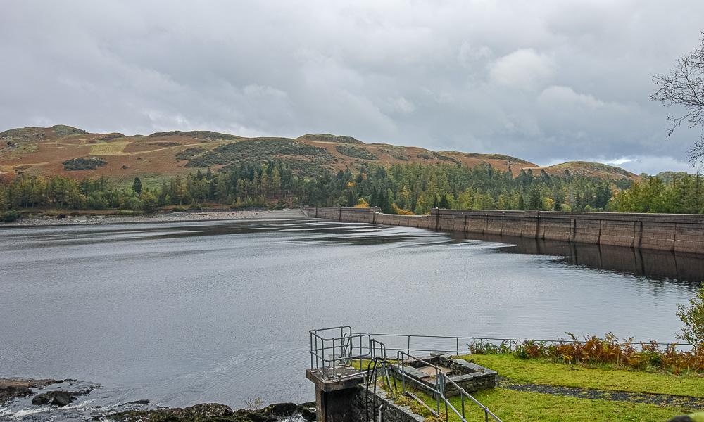
The walk starts with a long stretch of road walking as we head for the hamlet of Burnbanks. We know that once the dam wall is in sight the walk along the road is coming to an end.
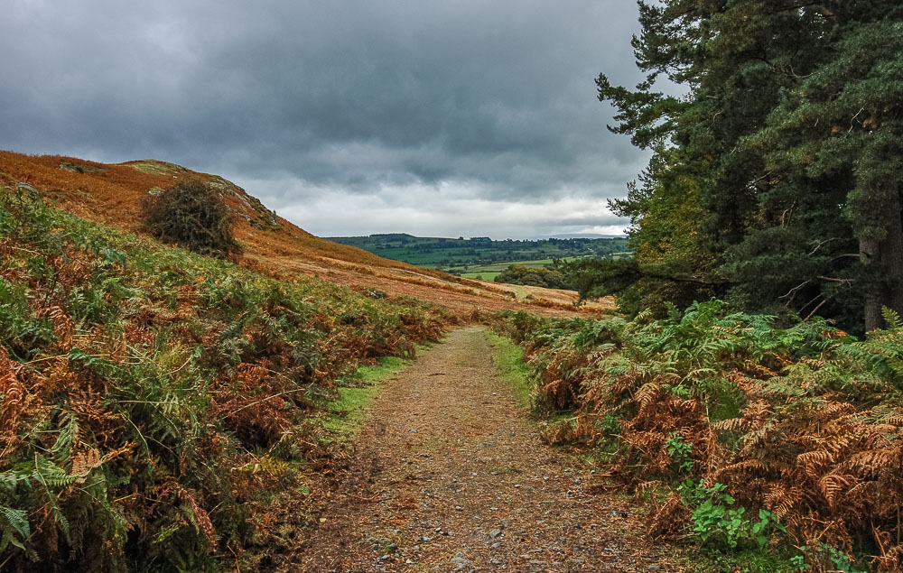
Once through Burnbanks we join the track which runs the length of the reservoir. Here looking back towards a distant Knipescar Common.
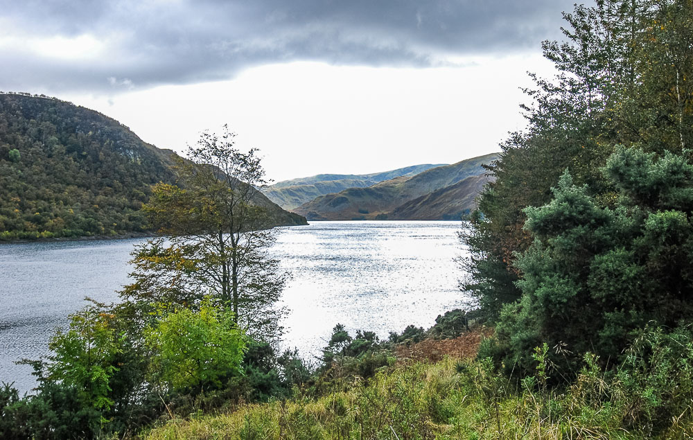
Once we are clear of the trees we have a view down Haweswater to Castle Crag.
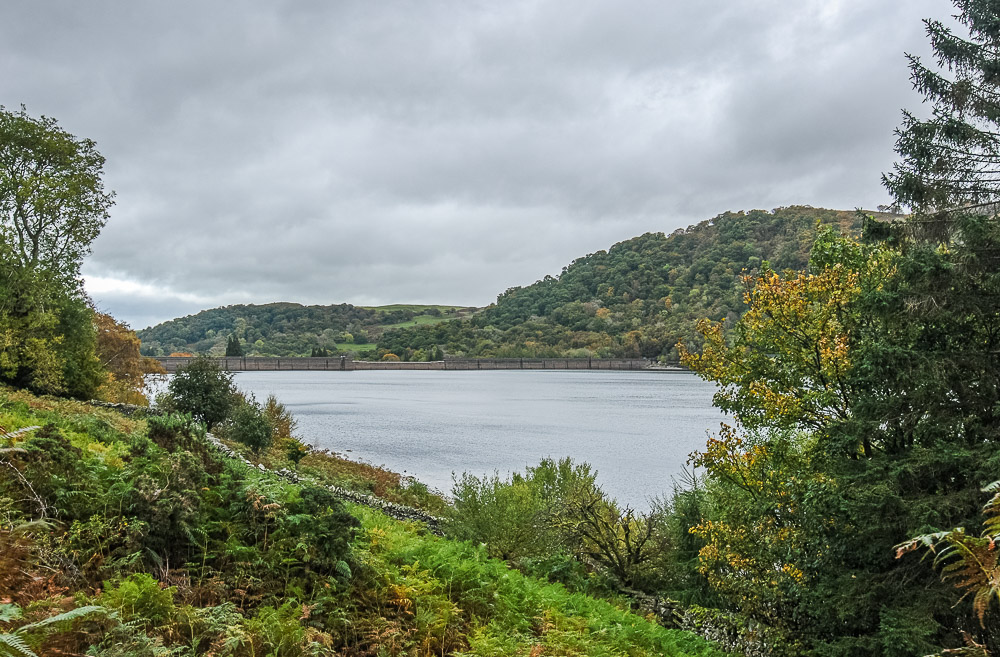
As we clear the trees and start to get views across the reservoir, including the one here back to Frith Crag, thoughts turn to finding a suitable spot for lunch.
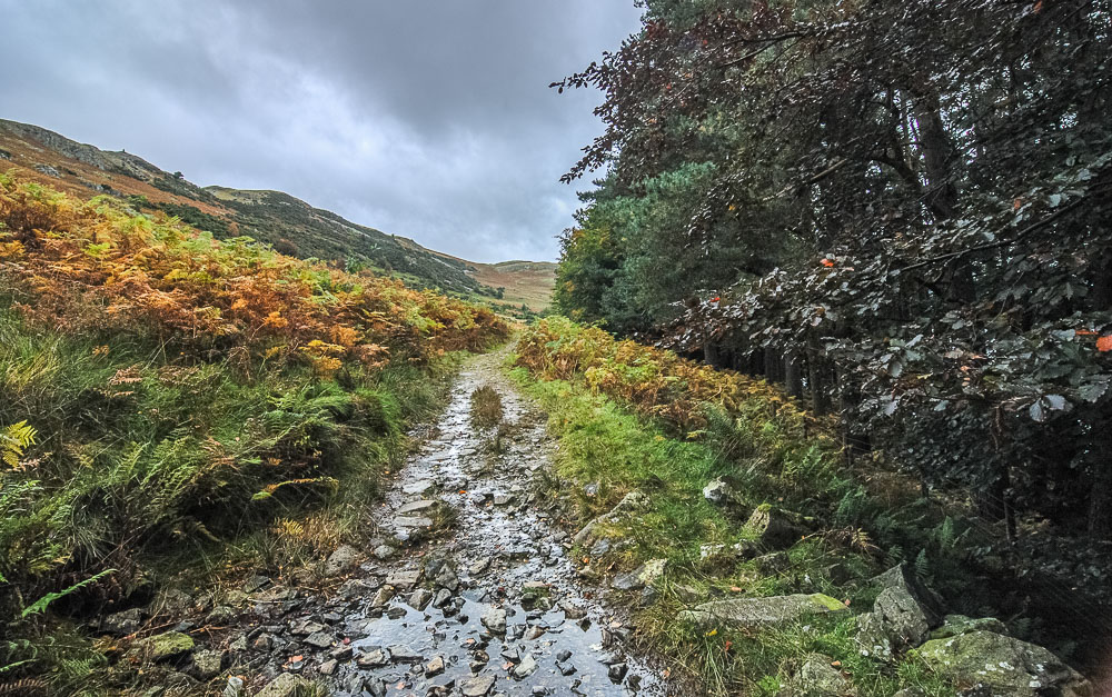
The path takes us below Four Stones Hill, which is identified by its prominent cairn. We are still on the lookout for a dry spot with a view for lunch, so we keep on going.
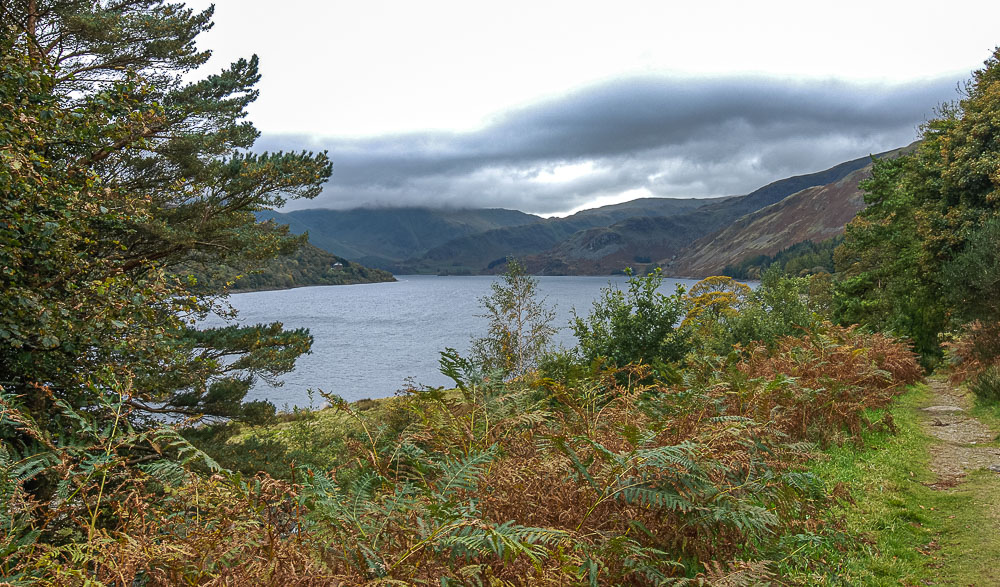
The promised low cloud means that the top of Harter Fell, at the head of the valley, isnt visible and neither is a suitable spot for lunch.
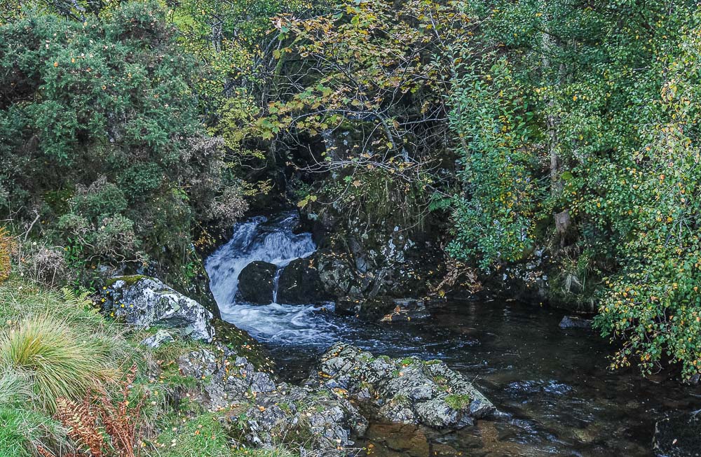
We pass through a gate and cross the bridge over the bottom of Measand Beck. None of the big falls that can be seen further upstream, but we arent heading that way today.
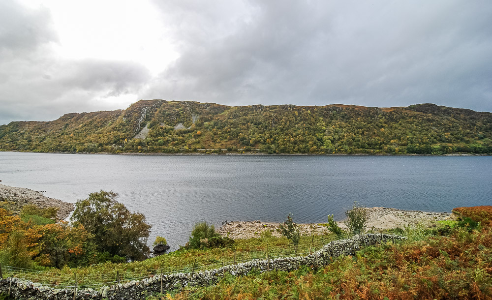
Having crossed the beck the views open up again and we spot a good place for lunch.
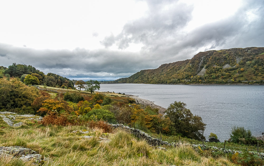
Our lunchspot gives us a great view back down the reservoir to the dam wall and also a view across the valley to Naddle Low Forest, which is our intended destination tomorrow.
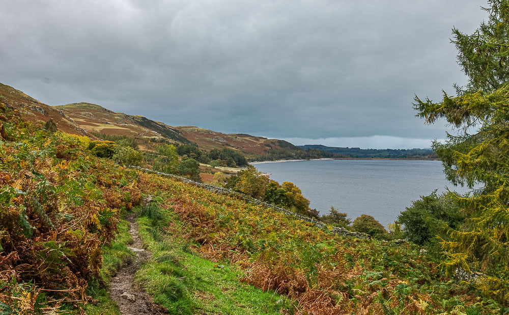
Lunch over, we make good progress along the track and we are soon looking back to Four Stones Hill.
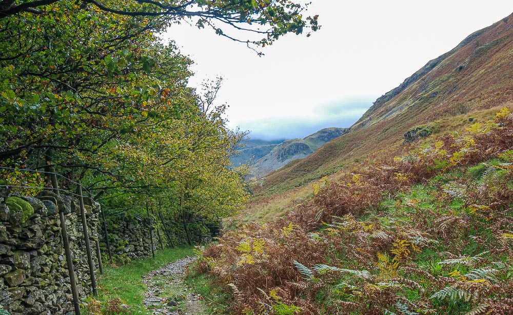
As we reach the woods opposite the hotel we hear the sounds of the stags roaring and turn around to see them on the fellside above us. The lens I had on the camera wasnt good enough to pick them out but now we know where to look for them we might be able to get some shots of them next year.
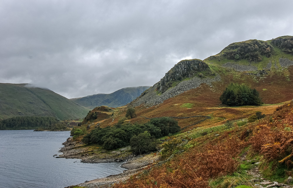
After dragging ourselves away from watching the deer we soon find ourselves approaching Castle Crag and the one section of ascent we need to do today.
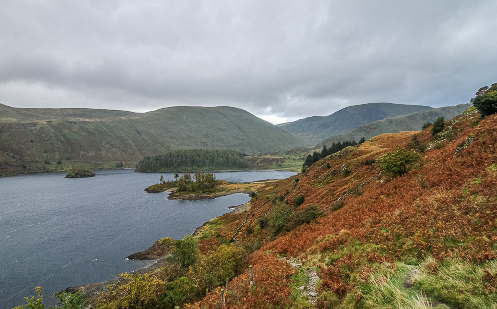
As we reach the top of the ascent below Castle Crag the cloud has finally cleared from the tops of Branstree and Harter Fell.
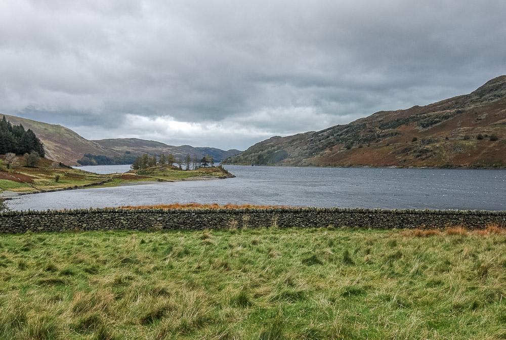
Looking back down Haweswater with Low Kop now visible above Four Stones Hill.
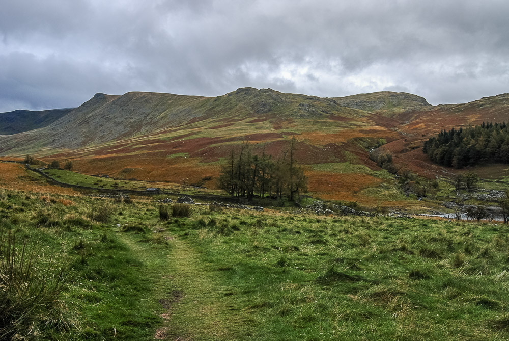
Kidsty Pike and Kidsty Howes as we make our way around to The Rigg.
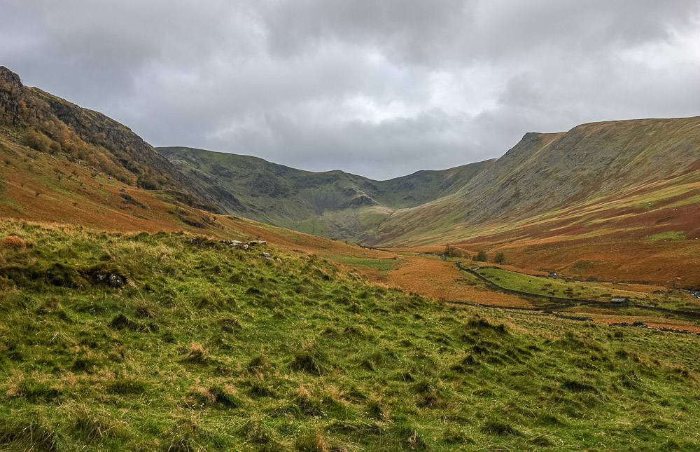
Looking along Riggindale.
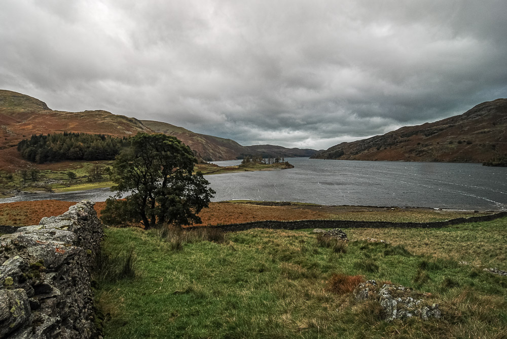
As we head for the end of The Rigg the clouds start to build and a few drops of rain start to fall.
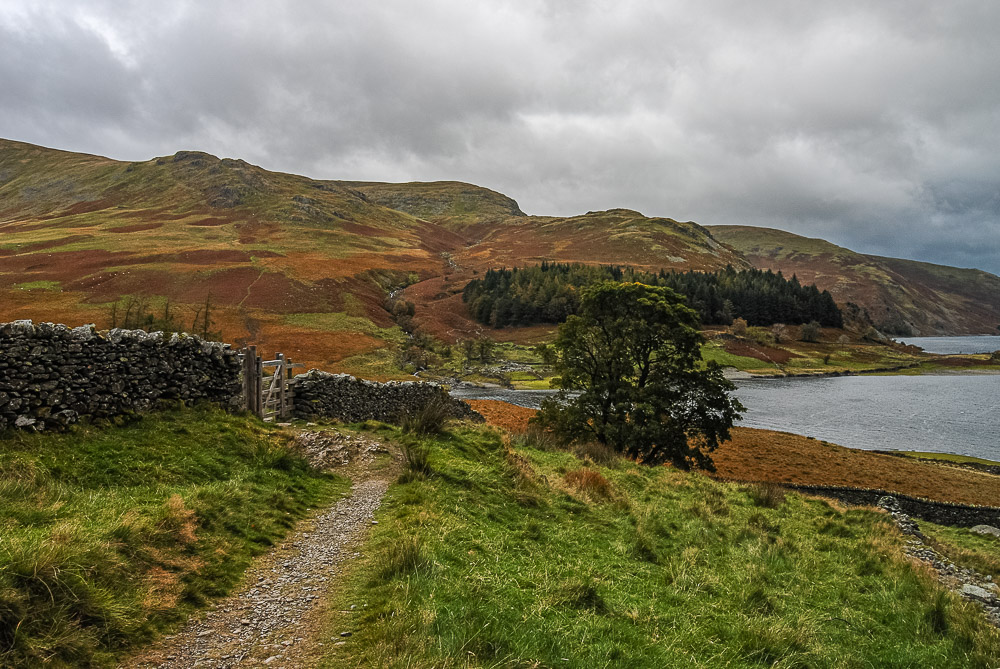
Looking across to Kidsty Howes and the back of Castle Crag and reminding ourselves of the walk we did over there two years ago.
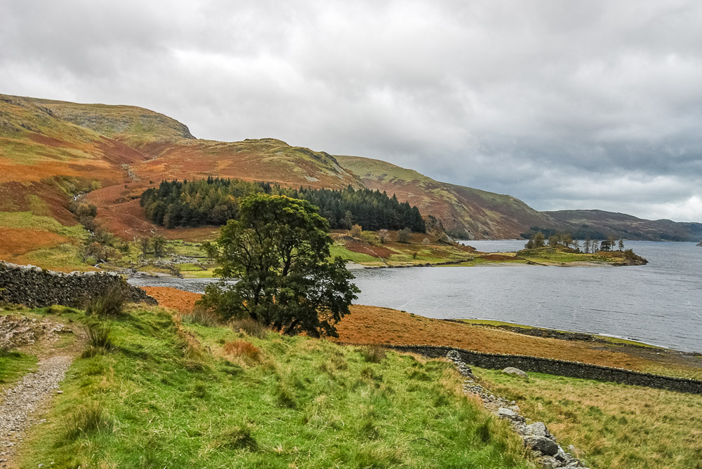
Seen from this side Castle Crag doesn't look in any way significant. The ascent of Birks Crag is as steep as it looks, as we remind ourselves as we take a short break on The Rigg. Shortly after this the rain became a little more persistent and so the camera was packed away for the return along the road to the hotel.
All pictures copyright © Peak Walker 2006-2023